Tulsa knows flooding better than most American cities. A storm in 1984 dropped about fifteen inches of rain overnight and left a trail of damage across the city. That disaster reshaped how Tulsa plans for water. It is also why flood maps matter so much to local buyers and builders.
This guide explains what FEMA flood maps show, how they affect insurance and lending, and what to check before you buy or build. It is general information, not insurance or engineering advice.
Why Tulsa Takes Flood Risk Seriously
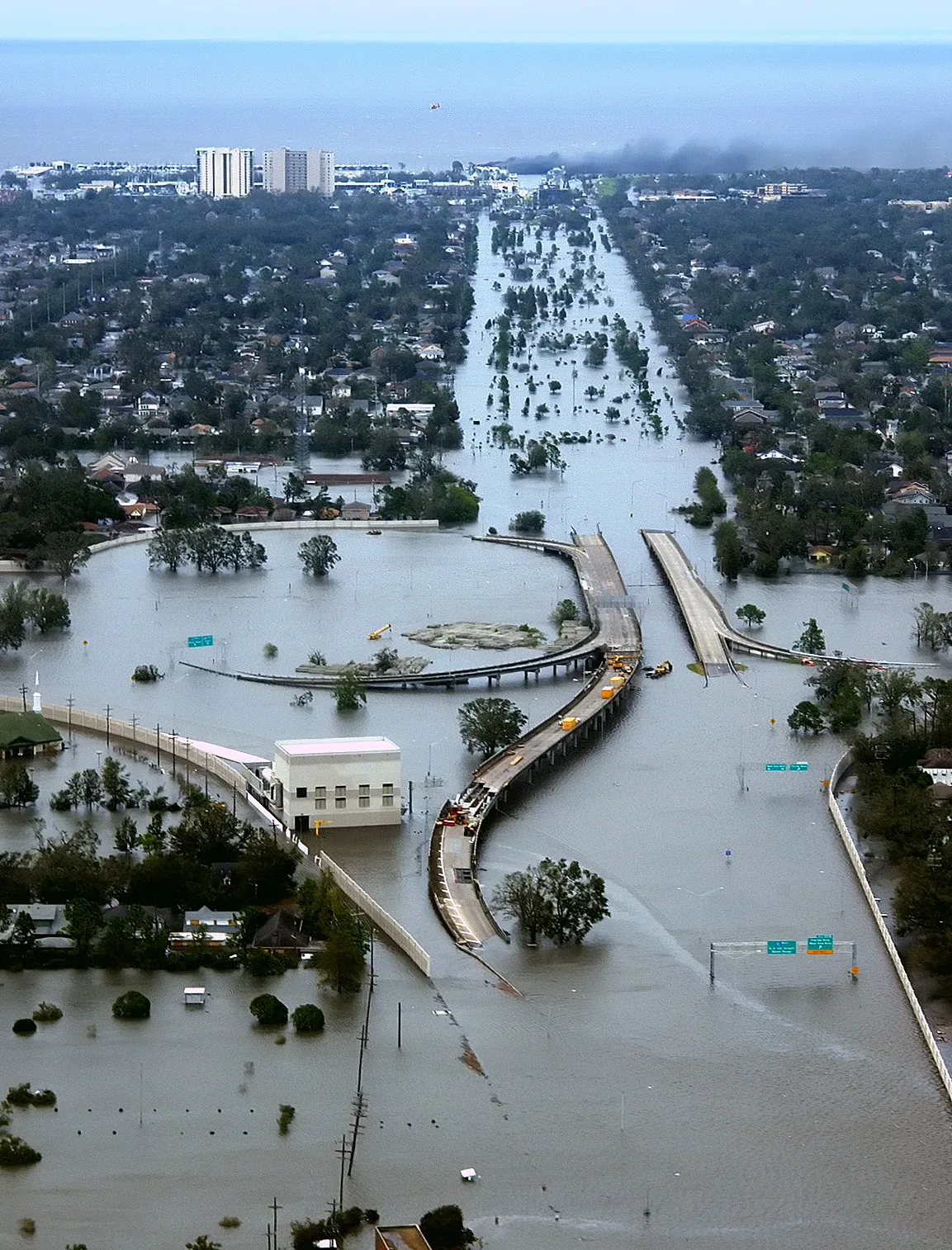
According to city history, a severe flood in 1984 followed a stalled weather front. It dropped 15 inches of rain overnight, killed 14 people, injured 288, and destroyed 7,000 buildings with about 180 million dollars in damage.
Water still shapes daily life in the city. Drainage projects, detention ponds, and stricter building rules all grew from that hard lesson.
The city answered with one of the most extensive flood control systems in the nation. A comprehensive flood management plan followed. Tulsa was honored by FEMA as a national leader in flood plain management twice, and the city keeps building on that record.
What FEMA Flood Maps Show
FEMA's National Flood Insurance Program publishes Flood Insurance Rate Maps, known as FIRMs. These maps depict the Special Flood Hazard Areas in each participating community. They also show other risk zones that carry their own rules.
The hazard line is based on the base flood. FEMA defines that as a flood with a one percent chance of being equaled or exceeded in any given year. Many people call this the hundred-year flood. The label can mislead. A one percent annual chance still means real risk over the life of a mortgage.
What a Flood Zone Means for Buyers
Participation in the national program is an agreement between communities and the federal government. In communities that take part, flood insurance is required for most loans secured by buildings in a Special Flood Hazard Area. Standard home policies do not cover flood damage, so this coverage is separate.
Check the map before you make an offer, not after. Ask your lender which zone applies to the property. Compare that answer with the seller's disclosure. A map change can affect both insurance costs and resale value.
When Maps Are Wrong or Out of Date
Maps can lag behind reality. Poor topographic detail can leave a property inside a hazard zone that does not fit the ground. An owner can apply for a Letter of Map Amendment to remove the insurance requirement for a specific property. That request needs an elevation certificate from a licensed surveyor or engineer. For related coverage, see TIF Districts, Explained: The Financing Tool Behind Tulsa's Redevelopment.
Larger corrections use a Letter of Map Revision. Developers who plan to raise land elevation can seek a revision based on fill. They can also request FEMA feedback in advance through a conditional letter before site work begins. This connects to our earlier piece, Zoning and Land Use in Tulsa: How Development Rules Actually Work.
What Developers Should Check First
Federal flood insurance stays available only where communities adopt and enforce floodplain management rules. Builders should confirm local permit requirements and base flood elevations before breaking ground. Some local standards go beyond the federal minimum, so start with the permit office.
FEMA also works to keep flood insurance affordable for homeowners in flood plains. It enforces no-build zones in known hazard areas and helps move or raise some at-risk structures. Local rules can be stricter than you expect, and they change over time.
Keep records of every map and letter you receive. If a lender or buyer questions the zone later, that file answers them.
Conclusion
Tulsa's flood history is the reason its maps and permit systems deserve your attention. Read the FIRM, verify the zone, and use the map correction process when the data is on your side. Careful homework before closing protects both your budget and your building.