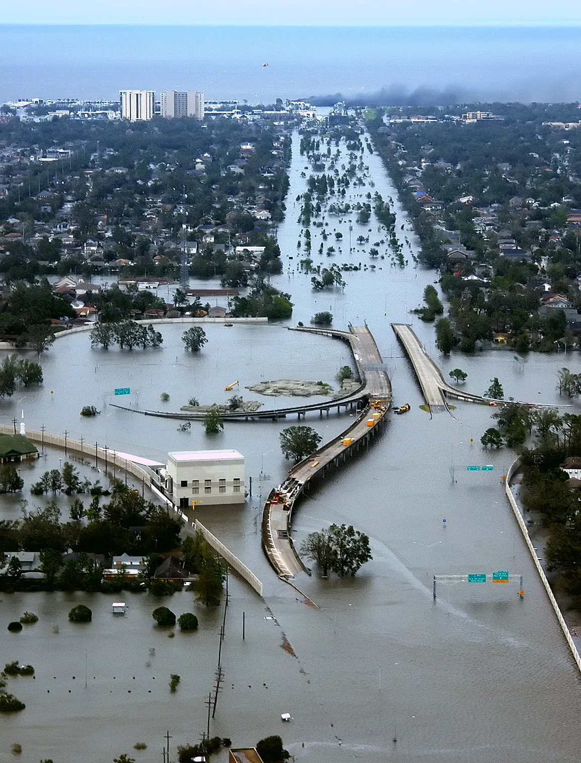
Flood Risk and FEMA Maps in Tulsa: What Homebuyers and Developers Need to Know
Tulsa rebuilt its flood planning after a devastating 1984 storm. Here is what FEMA flood maps show, how they affect insurance and lending, and what to check first.
Growth and development in Tulsa: the downtown resurgence, housing and the infrastructure behind it.
Tulsa rebuilt its flood planning after a devastating 1984 storm. Here is what FEMA flood maps show, how they affect insurance and lending, and what to check first.
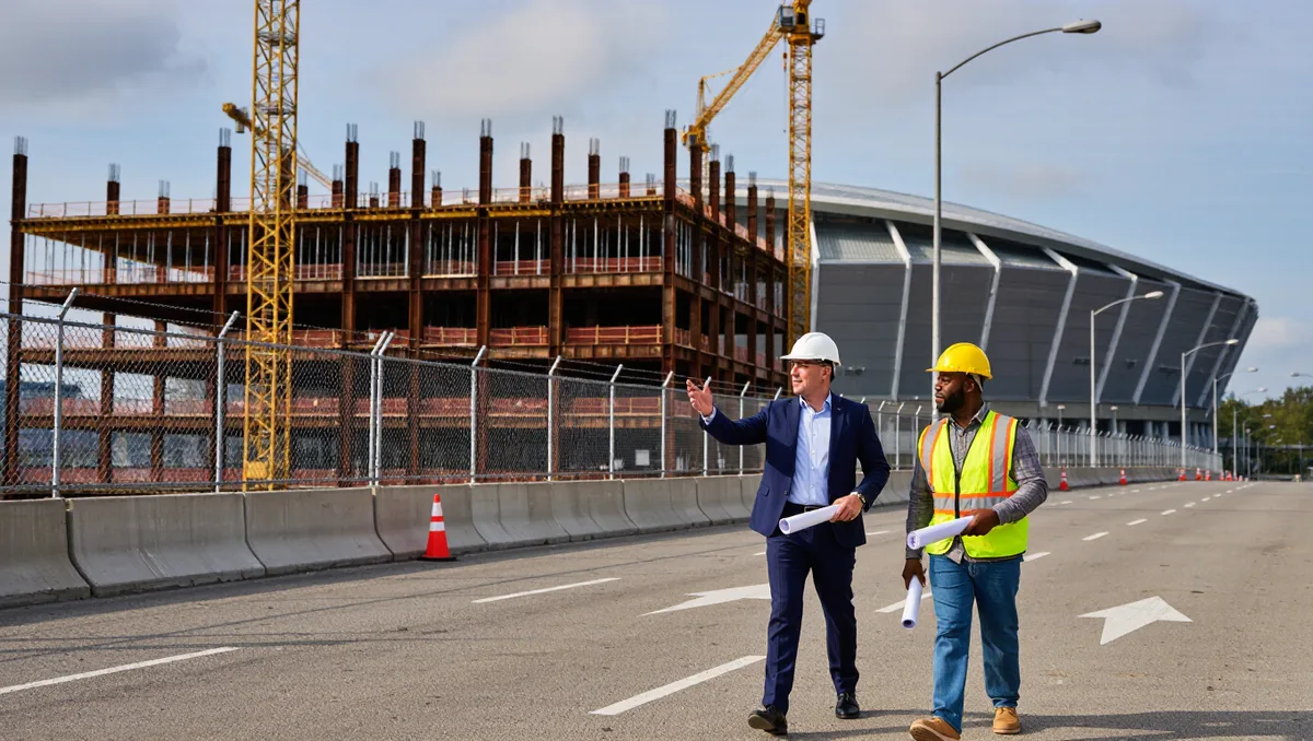
Stalled projects rarely die. They wait, reprice, change hands, or move — and the ones that come back usually share a few habits.

What Title 42 decides about your lot, your building, and your neighborhood — and how to work with it instead of around it.

With national office vacancy at record highs, Tulsa's pre-war towers are conversion candidates — but plumbing, floor plates, and financing decide which ones move.
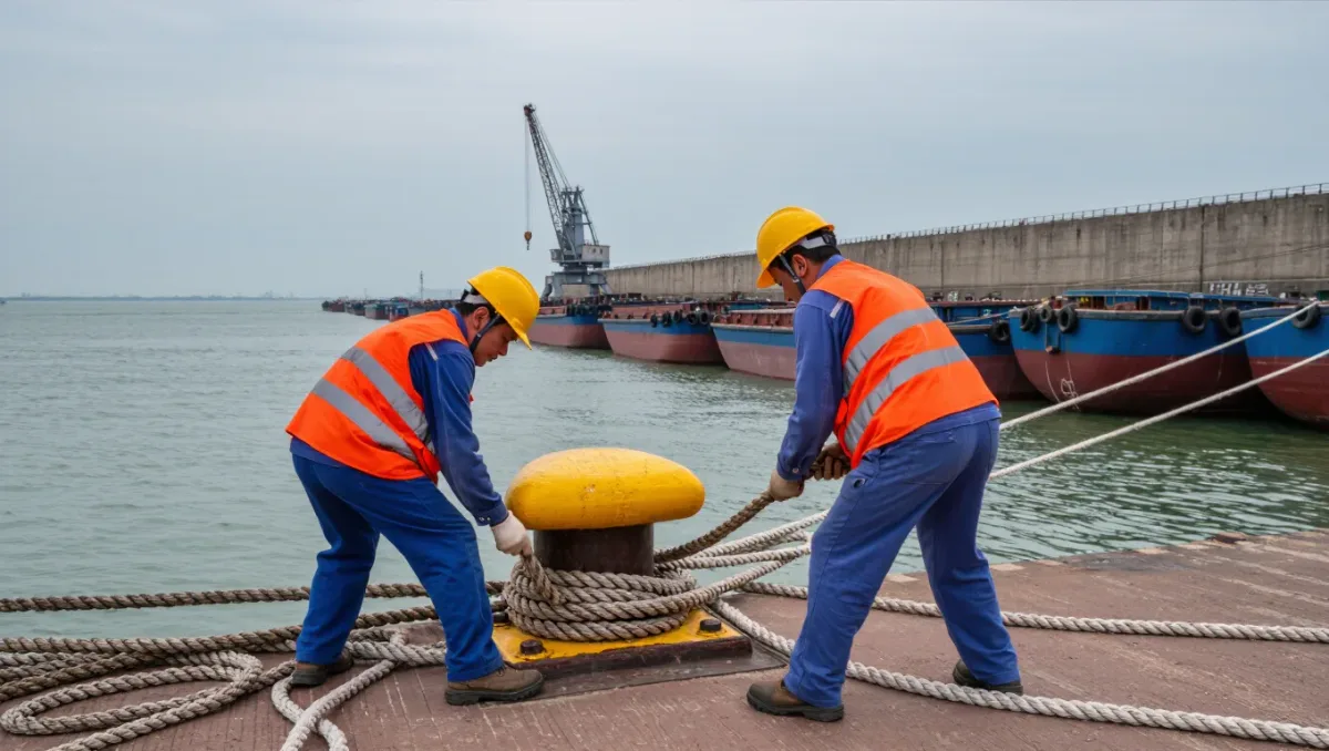
At the head of the McClellan-Kerr waterway, Tulsa's inland port turns a 445-mile river system into a multimodal industrial economy near Catoosa.