Oklahoma's television news map is simpler than it looks. The state is served by two main television markets — Oklahoma City and Tulsa — and each holds a set of network-affiliated stations that carry ABC, NBC, CBS and Fox programming. If you can read that map, you can predict which newscasts reach your living room and why nearly every one of them leads with the sky.
The word matters here. In the plain sense the Cambridge Dictionary gives it, understanding is knowledge of how something works rather than a bare list of names (Cambridge Dictionary). So this explainer is about the machinery: who owns the signal, where it reaches, and what the audience asks of it.
It also connects to the rest of the state's media. Television is one half of the picture; the other half is print, which we covered in A Reader's Guide to Oklahoma's Newspaper Landscape. Together they show where Oklahomans actually get their news.
What is a network affiliate, and why does Oklahoma have so few stations?
A network affiliate is a local station that signs an agreement with a national network — ABC, NBC, CBS, Fox or one of the smaller players. The network supplies prime-time shows, national news and sports. The station fills the rest of the day with local newscasts, syndicated programs and its own commercials. Neither party could do the whole job alone.
Oklahoma has few stations because it has few markets. A television market, in the industry's terms, is a geographic zone built around a group of counties that mostly watch the same signals. Oklahoma City anchors one such zone covering much of central and western Oklahoma. Tulsa anchors another, drawing viewers from northeast Oklahoma and border counties. Most of a state's population concentrated into two zones means most of its local TV news comes from two downtown newsrooms.
That concentration has consequences. Two newsrooms set the agenda for a very large share of the state. When both lead with the same story, Oklahomans hear it. When neither does, it often takes a newspaper or a public-radio reporter to surface it.
How do coverage zones work, and what is a DMA?
The industry's formal name for a coverage zone is the Designated Market Area, or DMA. It is a measurement region, not a legal boundary. Ratings services use it to count viewers, and advertisers use those counts to price commercials. A station's signal may spill past its DMA into neighboring counties, but the DMA is what the business side treats as its home turf.
Zones matter to viewers in practical ways. Which market you sit in decides which stations appear on your local cable or satellite lineup and which ones carry your local emergency alerts. A county on the edge of a zone may get stronger signal coverage from the big-city station than from a nearer one in the next state. Viewers along market borders sometimes feel they live between two news worlds, because they do.
The zones also shape what gets covered. A Tulsa station's newsroom plans around its DMA, not around the state line. A story in a far corner of the zone may get less attention than a smaller story closer to the tower, simply because more of the audience is nearby.
Why does weather dominate Oklahoma broadcasts?
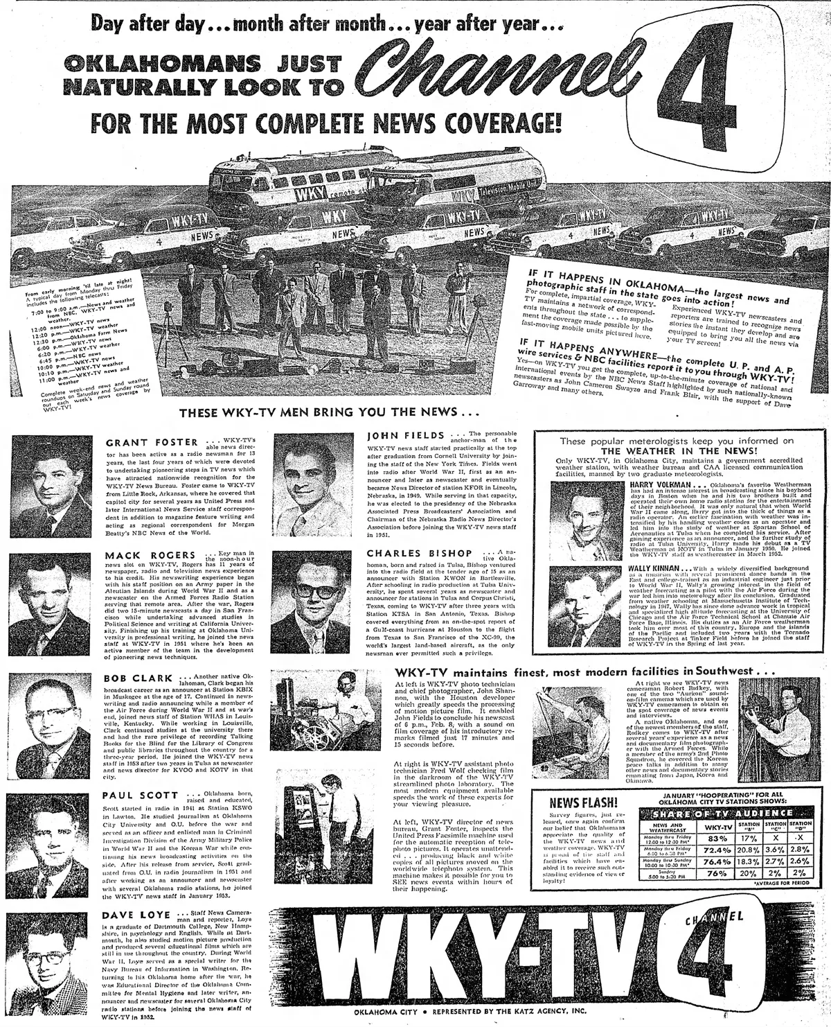
Because Oklahoma's weather is genuinely dangerous and the state's viewers demand coverage of it. The state sits where warm, moist air from the Gulf of Mexico meets dry air and strong winds aloft — a recipe for severe thunderstorms and tornadoes that other regions rarely see. Local stations have built their identities around tracking it, staffing teams of meteorologists and investing in radar equipment that most stations their size elsewhere would not carry.
During a tornado warning, the normal schedule drops. Stations go to continuous coverage, pre-empting network programming, and stay on the air until the threat passes. This is not a ratings decision so much as a public-safety role the audience expects. Generations of Oklahomans learned to turn the television on when sirens sound, and stations know it.
Weather also dominates the quiet days. A typical newscast gives the forecast a long block, often with extended outlooks, because viewers plan around it — farmers, school administrators, coaches and construction crews alike. Our earlier piece on How Oklahoma Newsrooms Decide What Leads the Broadcast looks at how those daily choices get made.
What this means for how you watch
Knowing the map makes you a sharper viewer. A few practical points:
- Identify your market. Whether your county sits in the Oklahoma City or Tulsa zone tells you which stations owe you local coverage and local alerts.
- Watch the affiliations. Two stations in the same town can cover the same story differently, and network affiliation affects what programming gets interrupted during severe weather.
- Treat weather coverage as a service, not padding. The long forecast blocks and storm interruptions exist because the state's hazard profile demands them.
- Look past television for statehouse and accountability reporting. Two TV newsrooms cannot staff every agency and courthouse; the state's newspapers and public radio fill much of that gap.
It is also worth noticing what the market structure costs. With so few local TV voices, a single newsroom's staffing cuts or ownership change can thin coverage across a huge area. That is one more reason the state's print and nonprofit outlets matter, a theme we return to often in our Oklahoma News coverage.
The map in one view
The structure is easy to summarize. Two markets. A small set of affiliates in each, tied to national networks by contract. Coverage zones drawn for measurement and advertising, which also decide who gets local alerts. And a weather-first editorial culture rooted in real risk, not habit. Hold those four facts together and Oklahoma's TV news map stops being a puzzle.
What remains uncertain is the direction of travel. Streaming and cord-cutting are reshaping how stations reach viewers and how local newscasts are funded, and no one yet knows how the two-market structure adapts. The towers, the affiliations and the storm coverage will outlast most of the current business models. The map's shape is stable; the economics beneath it are not.